


Intelligent Satellite & AI Solutions Built for a Data-Driven Future
Partnering With Organizations That Drive Innovation Forward


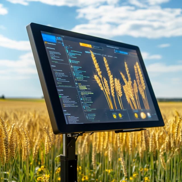
Empowering Organizations with Reliable Satellite Intelligence, Data-Driven Insights, and AI-Powered Decision-Making.
Learn MoreTrusted Intelligence for Critical Decisions
Organizations rely on JuliGerm for accurate satellite insights.
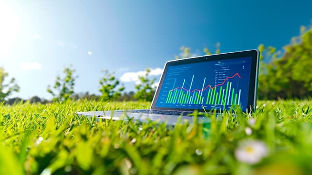
High-Quality Analytics & Performance Tracking
Our Commitment to Excellence
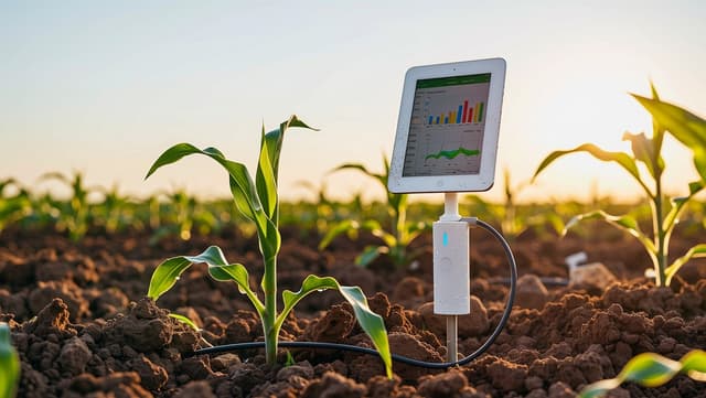
We combine satellite intelligence, geospatial analytics, and AI models to deliver dependable solutions for agriculture and infrastructure planning.
- Satellite Data
- AI Analytics
- Geospatial Intelligence
- Remote Sensing
- Precision Agriculture
From Data to Decisions — A Clear & Reliable Workflow.
Discovery & Data Acquisition
We begin by understanding your objectives and identifying the right satellite data sources, AI tools, and geospatial inputs needed for the project.
Analysis & AI Modeling
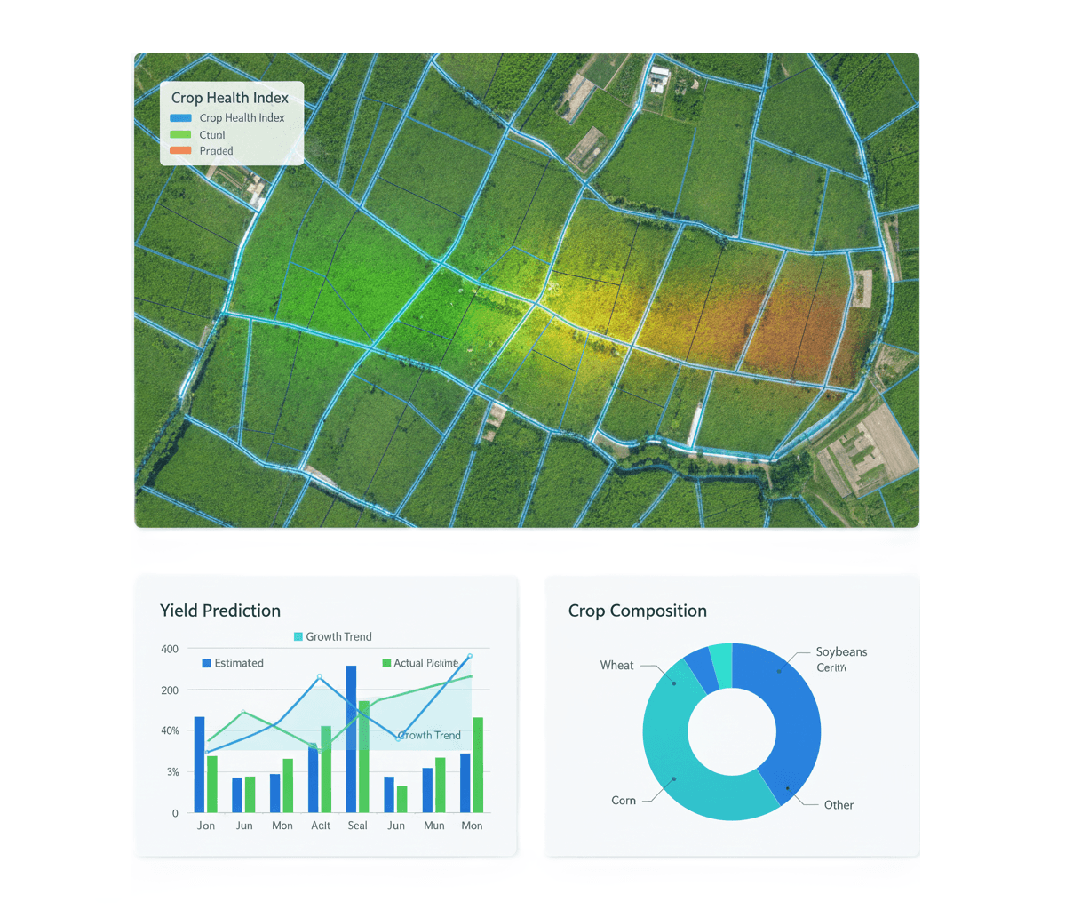
Our team processes the satellite imagery, applies geospatial analytics, and builds AI-driven models to extract meaningful insights tailored to your sector.
Insights, Reporting & Support
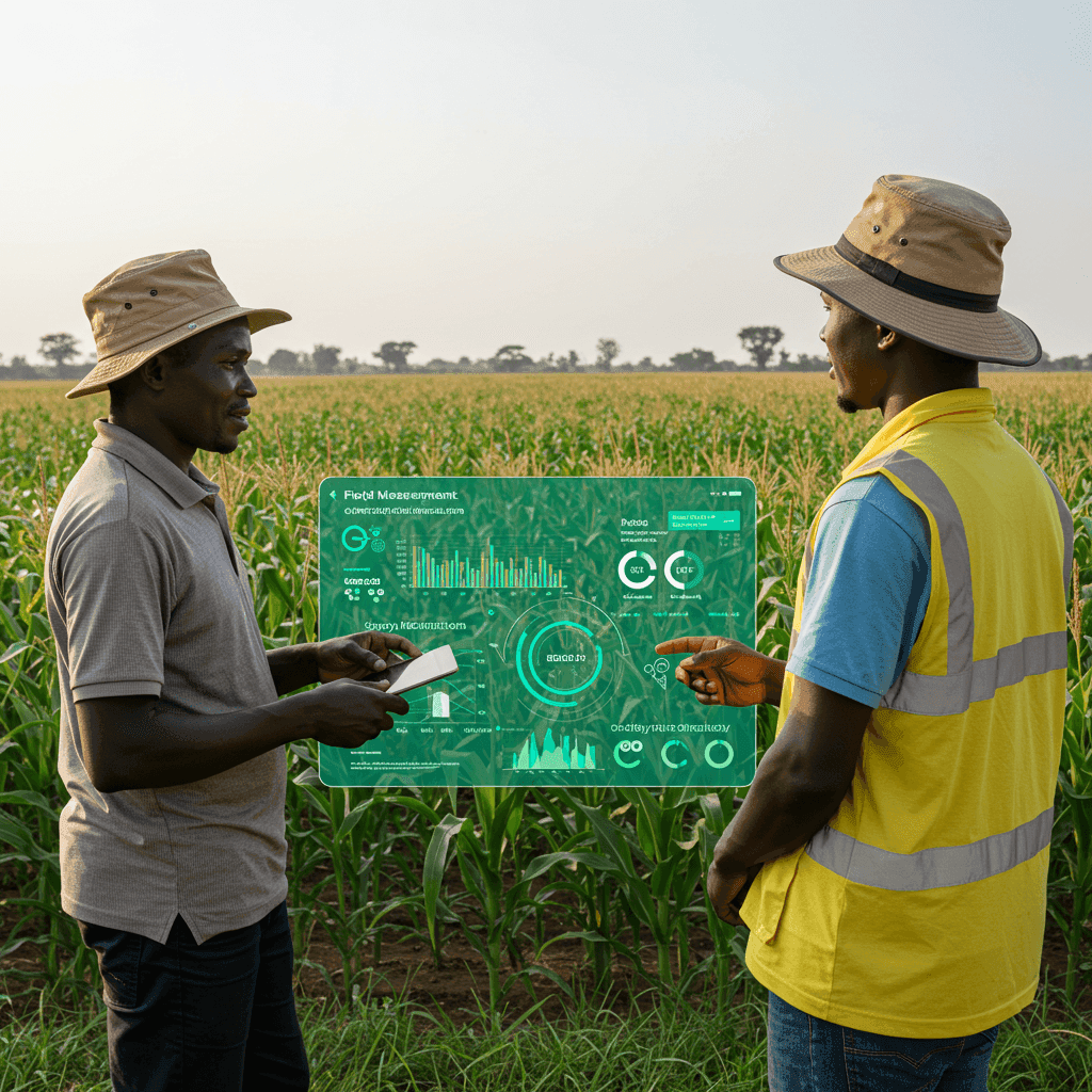
We deliver clear insights, dashboards, and actionable recommendations — followed by ongoing support to help you operationalize the intelligence.
JuliGerm’s technology has been incredibly helpful and has significantly benefited the Lesotho Potato Association. We are fully satisfied with their services and look forward to continuing our collaboration. We confidently recommend JuliGerm to other farmers and partners.

We sincerely appreciate the great work, patience, and professionalism demonstrated by the JuliGerm team during the farmer profiling project. Despite initial challenges, the team worked closely with WFP to ensure the assignment was completed successfully. Their services are highly appreciated.